基于傾斜攝影的實景三維單體化模型構建方法
2024-11-02 00:00:00楊帆景聰
科技創新與應用
2024年31期

摘 要:傾斜攝影實景三維模型是由連續的三角網通過紋理貼圖組成,模型上各地理要素具有“一張皮”的特點。針對無法管理與編輯模型上各地理對象的問題,該文提出基于傾斜攝影實景模型進行單體化建模的技術方法,通過對三維模型進行單體化操作,得到能夠精確表達三維產權關系、且與地形匹配良好的三維地籍模型,為模型中地理對象屬性的查詢、管理和應用提供方便;對明晰表達三維空間中的權屬狀況,減少法律糾紛,對其他省市的相關三維地籍項目有借鑒價值和指導意義。
關鍵詞:三維模型;傾斜攝影;單體化;三維地籍;單體化建模
中圖分類號:P231 文獻標志碼:A 文章編號:2095-2945(2024)31-0142-04
Abstract: The 3D model of oblique photography is composed of a continuous triangular network through texture mapping, and the various physical elements on the model have the characteristics of "one skin." Aiming at the problem that it is impossible to manage and edit geographical objects on the model, this paper proposes a technical method for singulation modeling based on oblique photographic real-life models. By singulation operations on the 3D model, a 3D cadastral model that can accurately express the 3D property rights relationship and matches the terrain well is obtained, providing convenience for the query, management and application of geographical object attributes in the model. Therefore, it has reference value and guidiSlNVYX11NO7unp+KPu15VQ==ng significance for clearly expressing the ownership status in three-dimensional space, reducing legal disputes, and related three-dimensional cadastral projects in other provinces and cities.
Keywords: 3D model; oblique photography; singulation; 3D cadastral; singulation modeling
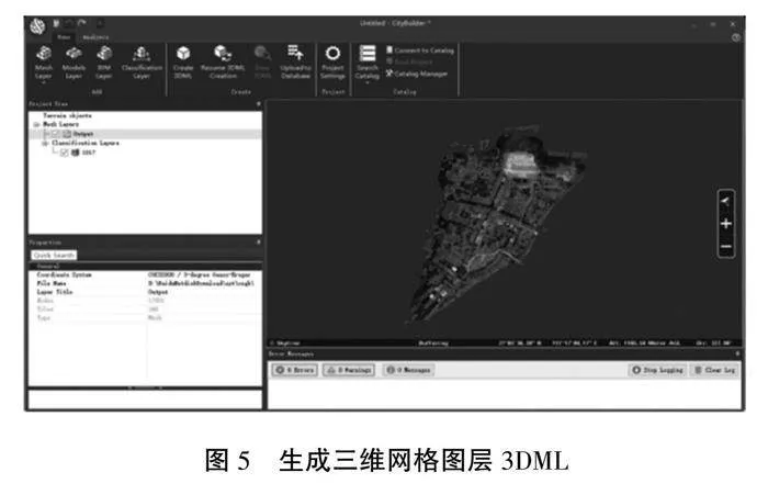
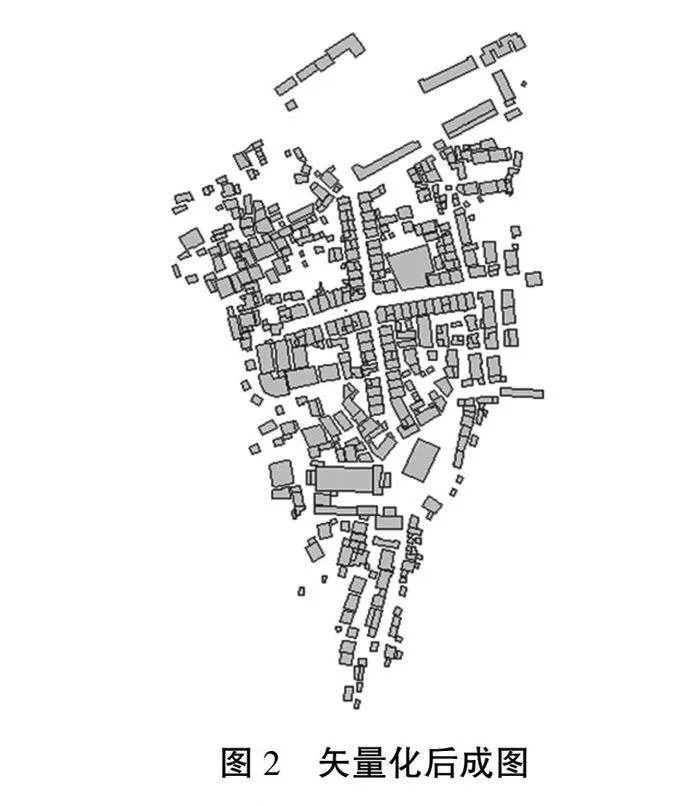
“單體化”是指能夠選擇且管理組織的單個實體對象,也就是可以直接查看相應的對象,能夠顯示、管理和查詢各個地物要素的屬性。從成果中進行相應的矢量化操作,將矢量化圖層作為單體化的分類圖層。模型的建立必須與具體情況密切結合,把需要單獨管理的對象來以獨立模型進行構建,這便是單體化。總的來看,傾斜攝影全自動化的模型建立需要遵循如下步驟:結合傾斜影像資料來對點云直接提取,然后經過抽稀處理后可以建立不規則的不規則三角網(TIN),把影像中提取的真實紋理映射到模型里。
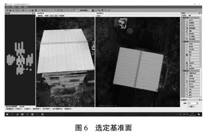
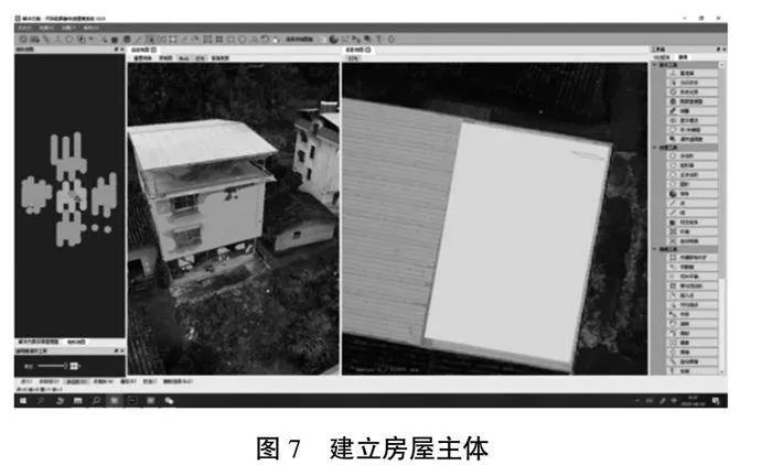
所謂單體化,指的是將分類圖層加入到傾斜模型中,從而直接從渲染角度來完成單體化處理。相應的操作實現機制的基本過程如下:通過矢量面來對網格模型內的區域范圍來進行評估和判斷,盡可能將其與模型表面相切合。……
登錄APP查看全文